ZIP CodeStandard
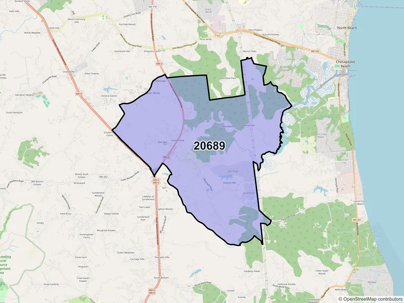
20689
Sunderland, MD
ZIP Code 20689 in Sunderland, MD has a population of 1,915 and a median household income of $161,833. Explore Census demographics, housing, and a map.
Demographics
Source: U.S. Census Bureau (ACS/Decennial). Estimates vary by year.
People
Total population
1,915
People
Median age
48.1
Housing
Total households
618
Income
Median household income
$161,833
Housing
Total housing units
618
Employment
Employment rate
72.3%
Education
Bachelor’s degree or higher
29.8%
Healthcare
Insured population
97.6%
Nearby ZIP codes
ZIP codes near 20689.
Data Sources & Citations
The geographic and demographic information presented on this site is compiled from publicly available, authoritative sources, including:
- United States Census BureauDemographic, population, housing, and socioeconomic data sourced from Census Bureau datasets, including the Decennial Census and the American Community Survey (ACS).Census Data
- United States Postal Service (USPS)ZIP code classifications, delivery types, and postal designations used for reference purposes. USPS ZIP codes are intended for mail delivery and may not always align exactly with Census geographic boundaries.USPS