Demographics
Source: U.S. Census Bureau (ACS/Decennial). Estimates vary by year.
People
Total population
61,338
People
Median age
—
Housing
Total households
—
Income
Median household income
—
Housing
Total housing units
—
Employment
Employment rate
—
Education
Bachelor’s degree or higher
—
Healthcare
Insured population
—
City details
Local time 02:49:15(ET)| Location | Fresh Meadows, NY |
|---|---|
| Population (ZIP areas) | 61,338(sum of local ZIP code populations) |
| Total ZIP codes | 2total |
| ZIP codes (by type) | 2 Standard |
| County | Queens |
| Area code | |
| Timezone | Eastern Time (ET) |
| Coordinates | 40.73640022162574, -73.78915961527464 |
| Land area | 4 sq miles(10,389,187 m²) |
Map of Fresh Meadows, New York with ZIP codes
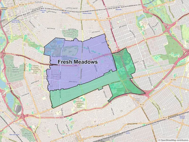
ZIP Codes in Fresh Meadows
Explore the ZIP codes that make up Fresh Meadows. Analyze key demographics and population stats for the region using the comprehensive table below.
— Data unavailable or suppressed by the U.S. Census Bureau for areas with small sample sizes to protect individual privacy.
ZIP type legend
- Standard: residential and business delivery areas
- PO BOX: primarily post office boxes; population may be unavailable
- Unique: high-volume organizations (universities, agencies, etc.)
Nearby cities
Other cities near Fresh Meadows, NY.
Data Sources & Citations
The geographic and demographic information presented on this site is compiled from publicly available, authoritative sources, including:
- United States Census BureauDemographic, population, housing, and socioeconomic data sourced from Census Bureau datasets, including the Decennial Census and the American Community Survey (ACS).Census Data
- United States Postal Service (USPS)ZIP code classifications, delivery types, and postal designations used for reference purposes. USPS ZIP codes are intended for mail delivery and may not always align exactly with Census geographic boundaries.USPS