State ProfileNV
Nevada
Population: 3,104,614ZIP codes: 248Cities: 96Counties: 17
Demographics
Source: U.S. Census Bureau (ACS/Decennial). See data sources
People
Total population
3,104,614
People
Median age
39.5
Housing
Total households
1,238,925
Income
Median household income
$81,134
Housing
Total housing units
1,365,893
Employment
Employment rate
60%
Education
Bachelor’s degree or higher
28.5%
Healthcare
Insured population
88.6%
Nevada details
| Capital | Carson City |
|---|---|
| State Code | NV |
| Timezone | Pacific Time (PT) |
| Coordinates | 38.8, -116.42 |
| Land area | 110,572 sq mi(286,380.4 km²) |
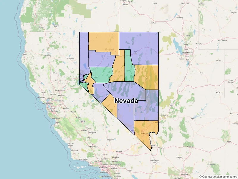
Map of Nevada ZIP codes
Major cities in Nevada
Browse major cities in NV with population and key demographic indicators.
| City | Population | Median incomeHousehold | ZIP codes | |
|---|---|---|---|---|
| Clark | 641,903 | $73,877 | 77ZIPs | |
| Clark | 317,610 | $90,138 | 12ZIPs | |
| Washoe | 264,165 | $80,760 | 24ZIPs | |
| Clark | 262,527 | $79,542 | 10ZIPs | |
| Washoe | 108,445 | $89,056 | 7ZIPs | |
| Carson City | 58,639 | $72,355 | 10ZIPs | |
| Nye | 44,738 | $62,109 | 4ZIPs | |
| Lyon | 22,895 | $89,517 | 1ZIPs | |
| Washoe | 21,178 | $77,446 | 1ZIPs | |
| Elko | 20,564 | $79,036 | 3ZIPs | |
| Clark | 20,471 | $75,227 | 3ZIPs | |
| Lyon | 15,153 | $102,819 | 1ZIPs | |
| Elko | 14,967 | $105,154 | 1ZIPs | |
| Clark | 14,885 | $74,757 | 2ZIPs | |
| Washoe | 9,462 | $167,069 | 3ZIPs | |
| Churchill | 9,327 | $73,389 | 3ZIPs | |
| Clark | 8,658 | $45,685 | 2ZIPs | |
| Humboldt | 8,431 | $81,824 | 2ZIPs | |
| Douglas | 6,211 | $62,267 | 2ZIPs | |
| Lyon | 5,629 | $48,944 | 1ZIPs | |
| Elko | 4,512 | $49,013 | 1ZIPs | |
| Clark | 4,379 | $68,652 | 1ZIPs | |
| White Pine | 3,924 | $77,500 | 2ZIPs | |
| Lander | 3,705 | $81,857 | 1ZIPs | |
| Douglas | 3,442 | $99,904 | 1ZIPs | |
| Clark | 3,270 | — | 1ZIPs | |
| Clark | 3,265 | — | 1ZIPs | |
| Lyon | 3,121 | $57,980 | 1ZIPs | |
| Mineral | 3,118 | $67,300 | 1ZIPs | |
| Washoe | 3,074 | $122,614 | 1ZIPs |
Most Populated Nevada ZIP Codes
A quick overview of the largest ZIP code areas in Nevada. Browse the table below to see which local communities and cities have the highest concentration of residents.
| ZIP | City | Median incomeHousehold | Population (ZIP) |
|---|---|---|---|
| 89110 | Las Vegas | $61,001 | 73,954 |
| 89108 | Las Vegas | $59,449 | 73,637 |
| 89031 | North Las Vegas | $87,297 | 73,386 |
| 89121 | Las Vegas | $55,758 | 68,692 |
| 89115 | Las Vegas | $51,681 | 67,043 |
| 89148 | Las Vegas | $96,696 | 61,281 |
| 89052 | Henderson | $97,999 | 59,987 |
| 89117 | Las Vegas | $75,145 | 57,497 |
| 89030 | North Las Vegas | $47,937 | 56,399 |
| 89147 | Las Vegas | $74,985 | 55,642 |
| 89123 | Las Vegas | $84,428 | 55,584 |
| 89122 | Las Vegas | $63,846 | 55,522 |
| 89129 | Las Vegas | $89,798 | 54,067 |
| 89074 | Henderson | $87,407 | 52,243 |
| 89131 | Las Vegas | $116,468 | 49,985 |
| 89103 | Las Vegas | $48,901 | 49,461 |
| 89119 | Las Vegas | $46,960 | 48,895 |
| 89436 | Sparks | $114,100 | 47,393 |
| 89032 | North Las Vegas | $76,127 | 47,324 |
| 89502 | Reno | $65,328 | 47,062 |
Available counties in Nevada
Explore regional data for Nevada counties, including population metrics, median income, and total ZIP codes.
| County | Population | Median incomeHousehold | ZIP codes |
|---|---|---|---|
| Clark | 2,265,461 | $76,472 | 119ZIPs |
| Washoe | 486,492 | $88,096 | 42ZIPs |
| Lyon | 59,235 | $80,812 | 7ZIPs |
| Carson City | 58,639 | $72,355 | 10ZIPs |
| Elko | 53,702 | $86,487 | 16ZIPs |
| Nye | 51,591 | $60,714 | 11ZIPs |
| Douglas | 49,488 | $90,754 | 7ZIPs |
| Churchill | 25,516 | $79,163 | 3ZIPs |
| Humboldt | 17,285 | $81,073 | 7ZIPs |
| White Pine | 9,080 | $72,865 | 6ZIPs |
| Pershing | 6,650 | $66,902 | 2ZIPs |
| Lander | 5,734 | $89,014 | 2ZIPs |
| Mineral | 4,554 | $54,855 | 4ZIPs |
| Lincoln | 4,499 | $72,307 | 5ZIPs |
| Storey | 4,104 | $93,409 | 1ZIPs |
| Eureka | 1,855 | $70,473 | 2ZIPs |
| Esmeralda | 729 | $41,715 | 3ZIPs |
Data Sources & Citations
The geographic and demographic information presented on this site is compiled from publicly available, authoritative sources, including:
- United States Census BureauDemographic, population, housing, and socioeconomic data sourced from Census Bureau datasets, including the Decennial Census and the American Community Survey (ACS).Census Data
- United States Postal Service (USPS)ZIP code classifications, delivery types, and postal designations used for reference purposes. USPS ZIP codes are intended for mail delivery and may not always align exactly with Census geographic boundaries.USPS