State ProfileCT
Connecticut
Population: 3,605,944ZIP codes: 402Cities: 249Counties: 9
Demographics
Source: U.S. Census Bureau (ACS/Decennial). See data sources
People
Total population
3,605,944
People
Median age
41.2
Housing
Total households
1,455,235
Income
Median household income
$96,049
Housing
Total housing units
1,554,057
Employment
Employment rate
62.6%
Education
Bachelor’s degree or higher
42.6%
Healthcare
Insured population
94.2%
Connecticut details
| Capital | Hartford |
|---|---|
| State Code | CT |
| Timezone | Eastern Time (ET) |
| Coordinates | 41.6, -72.76 |
| Land area | 5,543 sq mi(14,356.3 km²) |
Map of Connecticut ZIP codes
Major cities in Connecticut
Browse major cities in CT with population and key demographic indicators.
| City | Population | Median incomeHousehold | ZIP codes | |
|---|---|---|---|---|
| Greater Bridgeport | 148,654 | $58,685 | 10ZIPs | |
| Western Connecticut | 135,470 | $111,586 | 14ZIPs | |
| South Central Connecticut | 134,023 | $56,851 | 26ZIPs | |
| Capitol | 121,054 | $46,411 | 36ZIPs | |
| Naugatuck Valley | 114,403 | $51,886 | 16ZIPs | |
| Western Connecticut | 91,184 | $107,616 | 10ZIPs | |
| Western Connecticut | 86,518 | $83,393 | 3ZIPs | |
| Capitol | 74,135 | $58,613 | 4ZIPs | |
| Capitol | 64,083 | $129,890 | 7ZIPs | |
| South Central Connecticut | 60,850 | $71,253 | 2ZIPs | |
| Naugatuck Valley | 60,833 | $79,076 | 2ZIPs | |
| South Central Connecticut | 55,584 | $74,382 | 1ZIPs | |
| Capitol | 51,045 | $70,778 | 4ZIPs | |
| Lower Connecticut River Valley | 47,717 | $79,438 | 2ZIPs | |
| Naugatuck Valley | 40,869 | $108,185 | 1ZIPs | |
| Southeastern Connecticut | 40,125 | $65,024 | 1ZIPs | |
| Capitol | 36,379 | $74,267 | 4ZIPs | |
| Northwest Hills | 35,515 | $70,856 | 2ZIPs | |
| Naugatuck Valley | 31,519 | $96,324 | 1ZIPs | |
| Capitol | 30,536 | $102,884 | 2ZIPs | |
| South Central Connecticut | 27,923 | $94,628 | 1ZIPs | |
| Southeastern Connecticut | 27,367 | $59,098 | 1ZIPs | |
| Capitol | 27,298 | $126,806 | 2ZIPs | |
| South Central Connecticut | 24,253 | $132,689 | 1ZIPs | |
| Naugatuck Valley | 18,918 | $85,877 | 1ZIPs | |
| Southeastern Connecticut | 18,149 | $45,962 | 1ZIPs | |
| South Central Connecticut | 14,280 | $142,325 | 1ZIPs | |
| Western Connecticut | 13,836 | $134,914 | 3ZIPs | |
| Capitol | 12,613 | $81,205 | 1ZIPs | |
| Naugatuck Valley | 12,325 | $79,500 | 1ZIPs |
Most Populated Connecticut ZIP Codes
A quick overview of the largest ZIP code areas in Connecticut. Browse the table below to see which local communities and cities have the highest concentration of residents.
| ZIP | City | Median incomeHousehold | Population (ZIP) |
|---|---|---|---|
| 06001 | Avon | — | — |
| 06002 | Bloomfield | — | — |
| 06006 | Windsor | — | — |
| 06010 | Bristol | — | — |
| 06011 | Bristol | — | — |
| 06013 | Burlington | — | — |
| 06016 | Broad Brook | — | — |
| 06018 | Canaan | — | — |
| 06019 | Canton | — | — |
| 06020 | Canton Center | — | — |
| 06021 | Colebrook | — | — |
| 06022 | Collinsville | — | — |
| 06023 | East Berlin | — | — |
| 06024 | East Canaan | — | — |
| 06026 | East Granby | — | — |
| 06027 | East Hartland | — | — |
| 06029 | Ellington | — | — |
| 06030 | Farmington | — | — |
| 06031 | Falls Village | — | — |
| 06032 | Farmington | — | — |
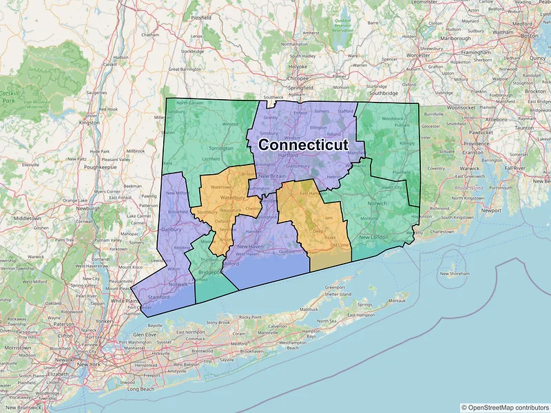
Available counties in Connecticut
Explore regional data for Connecticut counties, including population metrics, median income, and total ZIP codes.
| County | Population | Median incomeHousehold | ZIP codes |
|---|---|---|---|
| Capitol | — | $93,394 | 115ZIPs |
| Greater Bridgeport | — | $89,667 | 19ZIPs |
| Lower Connecticut River Valley | — | $104,428 | 26ZIPs |
| Naugatuck Valley | — | $86,191 | 39ZIPs |
| Northeastern Connecticut | — | $90,589 | 27ZIPs |
| Northwest Hills | — | $93,551 | 35ZIPs |
| South Central Connecticut | — | $88,197 | 48ZIPs |
| Southeastern Connecticut | — | $86,586 | 35ZIPs |
| Western Connecticut | — | $128,188 | 58ZIPs |
Data Sources & Citations
The geographic and demographic information presented on this site is compiled from publicly available, authoritative sources, including:
- United States Census BureauDemographic, population, housing, and socioeconomic data sourced from Census Bureau datasets, including the Decennial Census and the American Community Survey (ACS).Census Data
- United States Postal Service (USPS)ZIP code classifications, delivery types, and postal designations used for reference purposes. USPS ZIP codes are intended for mail delivery and may not always align exactly with Census geographic boundaries.USPS