County ProfileNJ
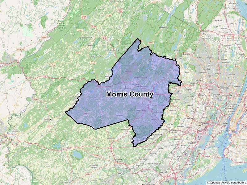
Morris County
Population: 509,285 · 54 ZIP codes
Demographics
Source: U.S. Census Bureau (ACS/Decennial). Estimates vary by year.
People
Total population
509,285
People
Median age
42.6
Housing
Total households
193,245
Income
Median household income
$137,326
Housing
Total housing units
199,506
Employment
Employment rate
64.8%
Education
Bachelor’s degree or higher
57.8%
Healthcare
Insured population
95.3%
County details
Local time 01:51:35(ET)| Name | Morris |
|---|---|
| Total ZIP codes | 54total |
| ZIP codes (by type) | 45 Standard9 PO Box |
| Area code | 862, 908, 973 |
| Timezone | Eastern Time (ET) |
| Coordinates | 40.8588961, -74.5472917 |
| Land area | 461 sq miles(1,194.1 km²) |
Map of Morris county, New Jersey with ZIP codes
Cities and Communities in Morris County
Compare the largest cities in Morris County by population, median income, and growth. Use the table below to analyze key demographic shifts across the region.
| City | Population | Median incomeHousehold | ZIP codes |
|---|---|---|---|
| Parsippany | 22,778 | $99,405 | 1ZIPs |
| Morristown | 20,180 | $121,340 | 3ZIPs |
| Dover | 18,460 | $73,737 | 2ZIPs |
| Madison | 16,937 | $171,471 | 1ZIPs |
| Florham Park | 12,585 | $158,696 | 1ZIPs |
| Pompton Plains | 11,144 | $117,959 | 1ZIPs |
| Oak Ridge | 10,996 | $121,875 | 1ZIPs |
| Lincoln Park | 10,915 | $123,397 | 1ZIPs |
| Succasunna | 10,338 | $161,712 | 1ZIPs |
| Lake Hopatcong | 10,232 | $117,625 | 1ZIPs |
| Lake Hiawatha | 10,194 | $104,663 | 1ZIPs |
| Flanders | 9,832 | $147,367 | 1ZIPs |
| Budd Lake | 9,784 | $114,154 | 1ZIPs |
| Chatham | 9,212 | $241,500 | 1ZIPs |
| Whippany | 8,863 | $151,420 | 2ZIPs |
| Boonton | 8,815 | $114,302 | 1ZIPs |
| Butler | 8,047 | $111,557 | 1ZIPs |
| Wharton | 7,241 | $85,767 | 1ZIPs |
| Rockaway | 6,598 | $107,053 | 1ZIPs |
| Morris Plains | 6,153 | $154,923 | 1ZIPs |
| Mount Arlington | 5,909 | $92,264 | 1ZIPs |
| Pine Brook | 5,675 | $126,488 | 1ZIPs |
| Towaco | 5,624 | $205,636 | 1ZIPs |
| Mendham | 4,981 | $211,944 | 1ZIPs |
| Ledgewood | 4,903 | $135,912 | 1ZIPs |
| Mountain Lakes | 4,472 | $250,001 | 1ZIPs |
| Landing | 4,296 | $128,068 | 1ZIPs |
| Riverdale | 4,107 | $102,950 | 1ZIPs |
| Cedar Knolls | 4,082 | $170,400 | 1ZIPs |
| Netcong | 3,375 | $83,958 | 1ZIPs |
| Millington | 3,038 | $194,306 | 1ZIPs |
| Gillette | 2,956 | $109,050 | 1ZIPs |
| Stirling | 2,555 | $180,875 | 1ZIPs |
| Long Valley | 1,827 | $133,229 | 1ZIPs |
| Kenvil | 1,806 | $85,288 | 1ZIPs |
| Brookside | 1,767 | $250,001 | 1ZIPs |
| Chester | 1,681 | $171,500 | 1ZIPs |
| Mount Tabor | 1,244 | $115,199 | 1ZIPs |
| Green Village | 1,103 | $88,977 | 1ZIPs |
| New Vernon | 825 | — | 1ZIPs |
| Hibernia | 208 | $121,205 | 1ZIPs |
| Convent Station | — | — | 1ZIPs |
| Denville | — | — | 1ZIPs |
| East Hanover | — | — | 1ZIPs |
| Mine Hill | — | — | 1ZIPs |
| Montville | — | — | 1ZIPs |
| Mount Freedom | — | — | 1ZIPs |
| Pequannock | — | — | 1ZIPs |
| Randolph | — | — | 1ZIPs |
| Schooleys Mountain | — | — | 1ZIPs |
— Data unavailable or suppressed by the U.S. Census Bureau for areas with small sample sizes to protect individual privacy.
ZIP Codes in Morris County
Review the most populated postal areas across Morris County. Use the ranking below to compare resident density and demographic scales between the county's major zones.
| ZIP | City | Median incomeHousehold | Population (ZIP) |
|---|---|---|---|
| 07005 | Boonton | — | — |
| 07034 | Lake Hiawatha | — | — |
| 07035 | Lincoln Park | — | — |
| 07045 | Montville | — | — |
| 07046 | Mountain Lakes | — | — |
| 07054 | Parsippany | — | — |
| 07058 | Pine Brook | — | — |
| 07082 | Towaco | — | — |
| 07405 | Butler | — | — |
| 07438 | Oak Ridge | — | — |
| 07440 | Pequannock | — | — |
| 07444 | Pompton Plains | — | — |
| 07457 | Riverdale | — | — |
| 07801 | Dover | — | — |
| 07802 | Dover | — | — |
| 07803 | Mine Hill | — | — |
| 07828 | Budd Lake | — | — |
| 07834 | Denville | — | — |
| 07836 | Flanders | — | — |
| 07842 | Hibernia | — | — |
Data Sources & Citations
The geographic and demographic information presented on this site is compiled from publicly available, authoritative sources, including:
- United States Census BureauDemographic, population, housing, and socioeconomic data sourced from Census Bureau datasets, including the Decennial Census and the American Community Survey (ACS).Census Data
- United States Postal Service (USPS)ZIP code classifications, delivery types, and postal designations used for reference purposes. USPS ZIP codes are intended for mail delivery and may not always align exactly with Census geographic boundaries.USPS