County ProfileAZ
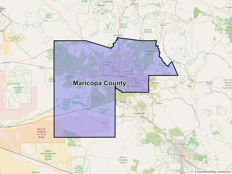
Maricopa County
Population: 4,420,568 · 195 ZIP codes
Demographics
Source: U.S. Census Bureau (ACS/Decennial). Estimates vary by year.
People
Total population
4,420,568
People
Median age
37.6
Housing
Total households
1,730,696
Income
Median household income
$89,300
Housing
Total housing units
1,884,334
Employment
Employment rate
61.9%
Education
Bachelor’s degree or higher
36.7%
Healthcare
Insured population
89.4%
County details
Local time 23:49:13(MST)| Name | Maricopa |
|---|---|
| Total ZIP codes | 195total |
| ZIP codes (by type) | 130 Standard64 PO Box1 Unique |
| Area code | 480, 520, 602, 623, 928 |
| Timezone | Mountain Standard Time (MST) |
| Coordinates | 33.3451756, -112.4989296 |
| Land area | 9,202 sq miles(23,833.1 km²) |
Map of Maricopa county, Arizona with ZIP codes
Cities and Communities in Maricopa County
Compare the largest cities in Maricopa County by population, median income, and growth. Use the table below to analyze key demographic shifts across the region.
| City | Population | Median incomeHousehold | ZIP codes |
|---|---|---|---|
| Phoenix | 1,608,139 | $81,332 | 74ZIPs |
| Mesa | 504,258 | $82,752 | 19ZIPs |
| Chandler | 275,987 | $108,095 | 8ZIPs |
| Gilbert | 267,918 | $122,551 | 7ZIPs |
| Glendale | 248,325 | $73,530 | 12ZIPs |
| Scottsdale | 241,361 | $110,886 | 15ZIPs |
| Peoria | 190,985 | $95,815 | 6ZIPs |
| Tempe | 180,587 | $79,663 | 8ZIPs |
| Surprise | 143,148 | $96,711 | 5ZIPs |
| Goodyear | 95,294 | $103,319 | 2ZIPs |
| Buckeye | 91,502 | $99,486 | 2ZIPs |
| Avondale | 89,334 | $86,123 | 2ZIPs |
| Queen Creek | 59,519 | $141,978 | 1ZIPs |
| Laveen | 50,447 | — | 1ZIPs |
| Sun City | 39,931 | $54,586 | 3ZIPs |
| El Mirage | 35,805 | $78,050 | 1ZIPs |
| Sun City West | 25,806 | $63,685 | 2ZIPs |
| Fountain Hills | 23,820 | $112,654 | 2ZIPs |
| New River | 17,290 | $134,289 | 1ZIPs |
| Waddell | 12,930 | — | 1ZIPs |
| Paradise Valley | 12,658 | $247,159 | 1ZIPs |
| Wickenburg | 7,474 | $67,600 | 2ZIPs |
| Tolleson | 7,216 | $59,626 | 1ZIPs |
| Youngtown | 7,056 | $68,321 | 1ZIPs |
| Litchfield Park | 6,847 | $126,250 | 1ZIPs |
| Cave Creek | 4,892 | $107,067 | 2ZIPs |
| Carefree | 3,690 | $147,165 | 1ZIPs |
| Cashion | 2,438 | — | 1ZIPs |
| Rio Verde | 2,210 | $131,723 | 1ZIPs |
| Gila Bend | 1,892 | $52,254 | 1ZIPs |
| Fort Mcdowell | 1,421 | — | 1ZIPs |
| Luke Air Force Base | 985 | — | 1ZIPs |
| Wittmann | 684 | — | 1ZIPs |
| Aguila | 565 | $72,727 | 1ZIPs |
| Morristown | 186 | $59,911 | 1ZIPs |
| Palo Verde | 164 | — | 1ZIPs |
| Arlington | 150 | — | 1ZIPs |
| Higley | 42 | — | 1ZIPs |
| Tonopah | 23 | — | 1ZIPs |
| Chandler Heights | — | — | 1ZIPs |
| Tortilla Flat | — | — | 1ZIPs |
— Data unavailable or suppressed by the U.S. Census Bureau for areas with small sample sizes to protect individual privacy.
ZIP Codes in Maricopa County
Review the most populated postal areas across Maricopa County. Use the ranking below to compare resident density and demographic scales between the county's major zones.
| ZIP | City | Median incomeHousehold | Population (ZIP) |
|---|---|---|---|
| 85142 | Queen Creek | $129,367 | 80,734 |
| 85225 | Chandler | $88,676 | 73,551 |
| 85326 | Buckeye | $89,876 | 72,959 |
| 85383 | Peoria | $145,546 | 69,617 |
| 85281 | Tempe | $64,538 | 69,218 |
| 85032 | Phoenix | $78,643 | 68,710 |
| 85301 | Glendale | $53,827 | 67,380 |
| 85308 | Glendale | $95,247 | 66,540 |
| 85041 | Phoenix | $75,301 | 64,639 |
| 85204 | Mesa | $72,216 | 63,808 |
| 85345 | Peoria | $67,380 | 61,024 |
| 85338 | Goodyear | $101,744 | 59,313 |
| 85008 | Phoenix | $66,353 | 59,047 |
| 85033 | Phoenix | $64,144 | 57,980 |
| 85282 | Tempe | $79,036 | 52,351 |
| 85295 | Gilbert | $118,467 | 51,587 |
| 85035 | Phoenix | $60,440 | 51,441 |
| 85022 | Phoenix | $69,927 | 51,314 |
| 85201 | Mesa | $67,294 | 51,187 |
| 85234 | Gilbert | $121,102 | 51,051 |
Data Sources & Citations
The geographic and demographic information presented on this site is compiled from publicly available, authoritative sources, including:
- United States Census BureauDemographic, population, housing, and socioeconomic data sourced from Census Bureau datasets, including the Decennial Census and the American Community Survey (ACS).Census Data
- United States Postal Service (USPS)ZIP code classifications, delivery types, and postal designations used for reference purposes. USPS ZIP codes are intended for mail delivery and may not always align exactly with Census geographic boundaries.USPS